
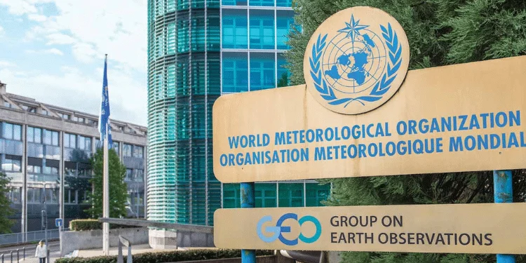
El Niño is gathering strength and is expected to reach its peak around December, with ocean temperatures in the central and eastern tropical Pacific forecast to reach unprecedented levels, according to the World Meteorological Organization.
The latest WMO outlook says the event will continue to shape weather patterns around the world in the final months of 2026, bringing a greater likelihood of unusual heat, heavy rainfall and drought in different regions.
For October to December, the seasonal average temperature anomaly in the Niño 3.4 region is forecast at about 3.7°C above normal. WMO says that would be the highest level since observations began, exceeding the previous record of 2.6°C set between November 2015 and January 2016.
The organisation said El Niño is already firmly established and is strengthening rapidly. It is also expected to persist into early 2027.
A warming Pacific
The latest figures show how quickly conditions have changed.
The Niño 3.4 index, which tracks sea-surface temperatures across the central and eastern equatorial Pacific, rose from an average of 1.6°C above normal in June to 2.5°C above normal in August.
WMO expects the warming trend to continue through the October-December period, with the strongest conditions developing around December.
The organisation said the unusual strength of the event is linked partly to the large amount of heat stored beneath the ocean surface.
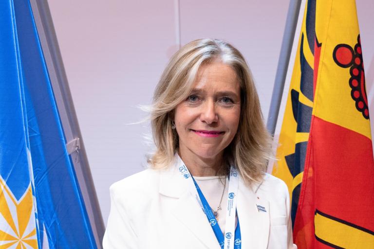
Celeste Saulo, the WMO secretary-general, said the ocean has an exceptional amount of heat available to release.
The agency cautioned that the strength of El Niño does not mean every part of the world will experience extreme heat or rainfall. Instead, it changes the odds of particular weather patterns occurring over a season.
Rainfall patterns shift
One of the biggest concerns is rainfall.
WMO forecasts a greater likelihood of wetter-than-normal conditions across the Greater Horn of Africa, including a region where the October-to-December rains are crucial for agriculture, water supplies and livelihoods.
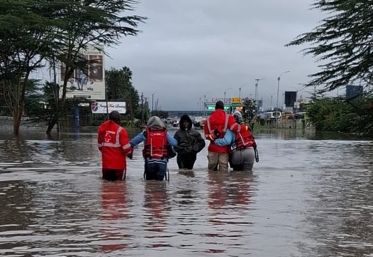
Other areas expected to have a greater chance of above-normal rainfall include parts of Central Asia, coastal East Asia, the northern Arabian Peninsula, parts of North America south of 45 degrees north and southeastern South America.
The picture is different elsewhere.
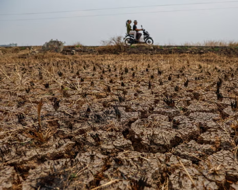
Drier-than-normal conditions are more likely across the Indian subcontinent, southern Central America, parts of the Caribbean and north-western South America. WMO also identifies a broad dry signal across parts of the western Pacific and equatorial Atlantic.
The forecasts, however, are not a replacement for national weather services.
WMO stresses that seasonal outlooks show where wetter or drier conditions are more likely. Local weather forecasts are still needed to determine what communities can expect from week to week.
Kenya watches the October-December rains
For Kenya, the forecast comes as the country enters one of its most important rainfall seasons.
The October-to-December period is particularly significant in the Greater Horn of Africa. WMO and regional climate agencies have warned of a higher likelihood of wetter-than-normal conditions as El Niño strengthens.
Kenya’s meteorological authorities have also warned of above-average rainfall in parts of the country during the season.
The wetter conditions could bring benefits to farmers, livestock keepers and communities facing water shortages. More rainfall can improve soil moisture, support planting and pasture regeneration, and replenish water sources.
But heavy rainfall can quickly become a hazard.
Flooding, waterlogging, crop disease, damaged infrastructure and disruption to transport are among the risks that can accompany excessive rain.
For communities living near rivers, flood-prone settlements and other vulnerable areas, the difference between beneficial rainfall and a disaster can depend on how quickly conditions change and how well people are prepared.
More than El Niño
El Niño is not acting alone.
The WMO outlook also points to a positive Indian Ocean Dipole, another climate pattern that can influence rainfall around the Indian Ocean. The IOD is expected to reach its peak in October before weakening, with an October-to-December seasonal anomaly of about 0.5°C.
Sea-surface temperatures in the equatorial Atlantic are also expected to remain above normal.
Together, these large-scale climate signals are helping shape the outlook for the coming months.
The WMO says the latest forecasts are intended to help governments, humanitarian organisations and other decision-makers prepare before the most significant impacts occur.
A season for preparedness
The strengthening El Niño comes against a backdrop of unusually warm global temperatures and oceans.
The WMO says the combination of El Niño and already elevated global temperatures could contribute to further heat extremes in many parts of the world. At the same time, shifts in rainfall could increase the risk of both flooding and drought depending on the region.
That does not mean every community will experience extreme conditions.
But it does mean the coming months warrant close monitoring.
For countries such as Kenya, where seasonal rainfall can determine harvests, affect water supplies and trigger floods, timely forecasts can make a practical difference.
The WMO says its members, national meteorological services and regional climate centres are continuing to share updates with governments and humanitarian organisations to support early action.
With El Niño expected to strengthen further before reaching its peak around December, the message from climate authorities is clear: the forecast is not a prediction of disaster, but it is a reason to prepare.
About the Author