Recently, AI has become a central topic in discussions among companies, industries, and individuals, as they seize the opportunity to integrate it into their daily activities.
According to Forbes, AI was initially invented in December 1955 by Herbert Simon and Allen Newell. However, the term “artificial intelligence” was coined by John McCarthy in 1956 when he organized the first academic conference on the subject.
One industry that has eagerly adopted this technology is the tourism sector, particularly in wildlife conservation.

The wildlife sector has embraced AI in various ways, including:
Combatting Poaching
Zambia’s Department of National Parks and Wildlife, in collaboration with other partners, is utilizing AI to enhance traditional anti-poaching efforts. They have established a 19 km-long virtual fence across Lake Itezhi-Tezhi.
Moreover, they have deployed Forward-looking Infrared (FLIR) thermal cameras to monitor boat movements in and out of the park around the clock.
Installed in 2019, these cameras were previously monitored manually by rangers, who would respond to signs of illegal activity. Now, FLIR AI has been trained to automatically identify boats entering the park, increasing efficiency and reducing the need for constant manual surveillance. The AI has also been taught to eliminate false alerts triggered by waves and flying birds.
Species Counting Assistance
Preserving species on the brink of extinction, particularly in the Congo Basin, presents a monumental challenge.
To address this, certain game parks are harnessing AI technology. In 2020, data science company Appsilon collaborated with the University of Stirling in Scotland and Gabon’s national parks agency (ANPN) to develop the Mbaza AI image classification algorithm for large-scale biodiversity monitoring in Gabon’s Lopé and Waka national parks.
Read Also: Safaricom Chapa Dimba Unleashes New AI Vest For Players
In 2020, the Mbaza AI algorithm analyzed over 50,000 images captured by 200 camera traps across 7,000 sq km of forest.
Mbaza AI can classify up to 3,000 images per hour with up to 96% accuracy. Conservationists can monitor and track animals, swiftly identifying anomalies or warning signs for prompt action.
Moreover, the algorithm functions offline on standard laptops, a valuable feature in areas with limited or no internet connectivity.
Water Loss Tracking
Monitoring water loss across expansive game reserves and parks is a daunting task due to their vastness.
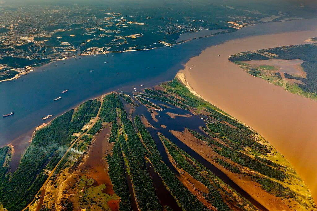
The Negro River, a major Amazon tributary and one of the world’s ten largest rivers by volume, has experienced a 22% reduction in surface water.

Meanwhile, the Brazilian section of the Pantanal, the planet’s largest tropical wetland, has seen a 74% decline in surface water.
These findings are the result of AI technology. The MapBiomas water project released its findings after analyzing over 150,000 images obtained from NASA’s Landsat 5, 7, and 8 satellites between 1985 and 2020, covering 8.5 million sq km of Brazilian territory.
Without AI, researchers would not have been able to comprehensively analyze water changes across the country on such a vast scale and with such detail.
Additionally, AI has proven its ability to differentiate between naturally occurring and human-made water bodies.


