
Kenya is heading into an October-December rainy season that could be wetter than normal across much of the country.
But the latest forecast does not mean every part of Kenya will be flooded.
The Kenya Meteorological Service Authority (KMSA) expects above-average rainfall across large parts of the country, including Nairobi, Central Kenya, Western Kenya, the Coast and much of eastern and northern Kenya.
The season is especially important in parts of eastern and northern Kenya, where the October-December rains can provide more than 40% of annual rainfall.
KMSA says rainfall is likely to be fairly to well distributed in many areas, but warns of prolonged wet spells and occasional isolated storms. Turkana and Samburu could experience poorer rainfall distribution.
Why is more rain expected?
One of the main factors is a strengthening El Niño.
KMSA says the Niño 3.4 index reached +2.7°C in the week centred on 12 August, indicating that the event is developing towards a very strong El Niño.
The Indian Ocean Dipole, another influence on Kenya’s rainfall, is currently neutral but is expected to strengthen towards its positive threshold from September, although there is uncertainty over its timing and intensity.
Kenya has reason to take the warning seriously.
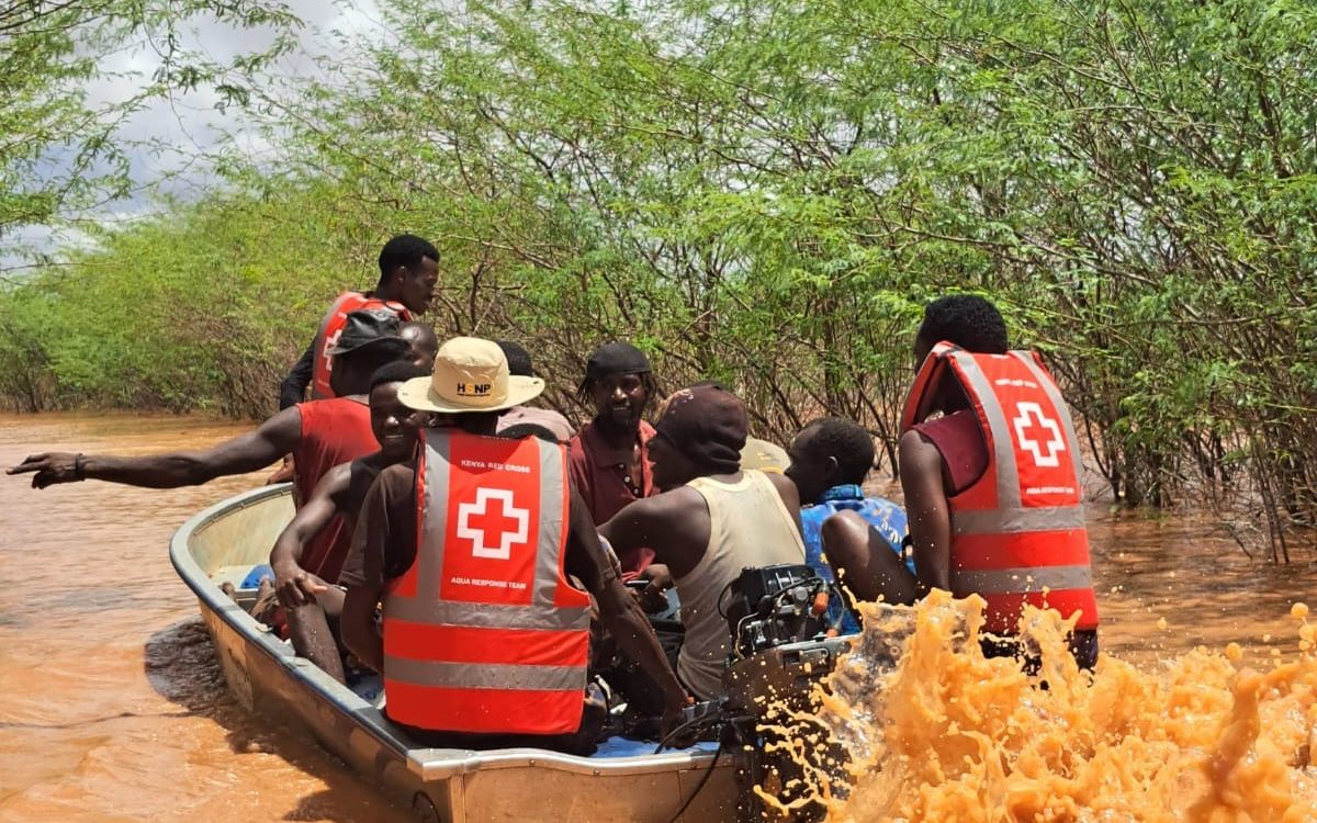
During the 2023-24 El Niño rains, flooding affected 46 of the country’s 47 counties, killed hundreds of people and displaced more than 729,000, according to the International Federation of Red Cross and Red Crescent Societies.
That experience has placed early action at the centre of preparations for the coming season.
Why the Kenya Red Cross is urging early action
Kenya Red Cross Society Secretary General Dr Ahmed Idris says the forecast needs to move beyond technical climate information and become something communities can use.
Speaking at the opening of the 13th National Climate Outlook Forum, Idris said the coming season should be viewed through a risk perspective and translated into practical decisions for communities and different sectors.
“We will be advising people on what to do with their lives,” he said. “We will be advising the country on how the economy ought to be organised the next couple of months.”
That is where the Kenya Red Cross Society, with support from partners including Switch, has an important role: helping turn climate information into information people can understand and act on before emergencies happen.
The Society already has experience using early warnings to reach communities. Its 2026 flood response, for example, included more than 26 million early-warning SMS alerts sent to at-risk communities.
So, will it flood everywhere?
No.
A seasonal forecast describes the broad pattern expected over several months. It does not predict heavy rain every day or flooding in every county.
KMSA also says shorter-term weather patterns, including the Madden-Julian Oscillation and tropical cyclones, can change rainfall intensity. It therefore advises people to continue following daily, five-day, seven-day and monthly forecasts.
The timing will also differ.
In Nairobi and much of Central Kenya, rains are expected around the second to third week of October. Machakos, Kitui, Makueni and Kajiado could see onset around the third to fourth week.
For farmers, businesses, schools and households, the message is therefore simple:
Use the seasonal forecast to prepare. Use shorter-term forecasts to decide when to act.
The government and humanitarian agencies now have several weeks to clear drainage, prepare evacuation routes, protect infrastructure and get information to vulnerable communities.
The forecast has provided the warning.
The real test is whether Kenya can turn that warning into early action before the water arrives.
About the Author