
A major El Niño is building. It is forming over the Pacific Ocean. The event is forecast to strengthen. The World Meteorological Organisation expects a strong phase. The effects could be felt worldwide.
Higher temperatures are expected. Rainfall patterns may also shift.
Record heat is now possible
The developing event has raised concern. Global temperatures could receive another boost. Ocean heat is released into the air. That can push temperatures higher.
The year after an El Niño peak is often warmer. That has placed 2027 under close watch. But such forecasts still carry uncertainty.
Weather patterns could shift
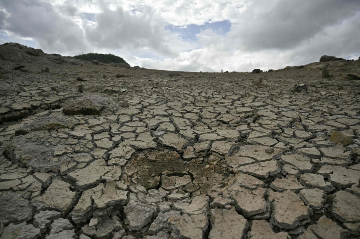
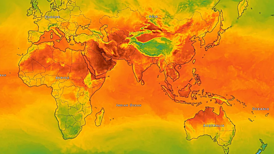
El Niño can alter weather worldwide. Some regions may become wetter. Others may face greater drought risks. Flooding can also become more likely. The WMO expects these changes to intensify. Its latest outlook covers August to October.
The effects will not be the same everywhere. Other climate patterns will also matter.
Africa could feel the effects
The Indian Ocean is also being watched. A positive Indian Ocean Dipole is forecast. It could strengthen regional impacts. The WMO expects wetter conditions in the Greater Horn. Drier conditions are forecast elsewhere.
Such shifts can affect farms and water supplies.
Climate change adds more heat
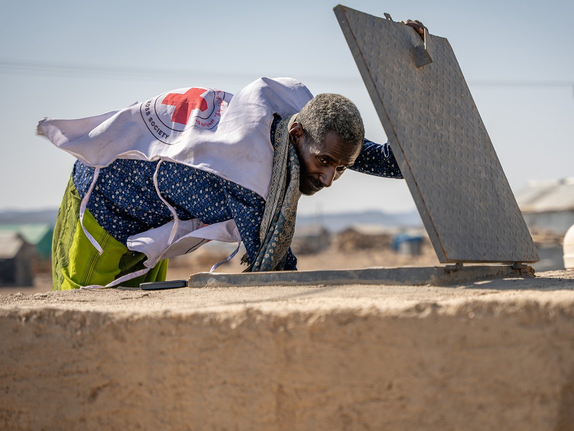
El Niño is a natural climate pattern. It is not caused by climate change. But it occurs on a warmer planet. That can make some impacts worse. The WMO has stressed this point.
Extreme heat is already a major risk. The developing event could add further pressure.
Preparedness is being urged
The strongest impacts are still ahead. El Niño usually peaks later in the year. Forecasts are therefore being closely monitored. Governments are being urged to prepare. Farmers and communities are also being warned.
Early action could reduce future losses. For now, the Pacific remains the focus. And the next few months could prove critical.
About the Author